- Desktop review and field-program design
- Geological mapping, traverses and stations
- Lithology, alteration, structure and mineralisation logs
- Photo, coordinate and source-data control
FIELD GEOLOGY
Geological Investigation
Structured mapping and observation programs that preserve field context and geological interpretation.
THE EXPLORATION CHAPTER
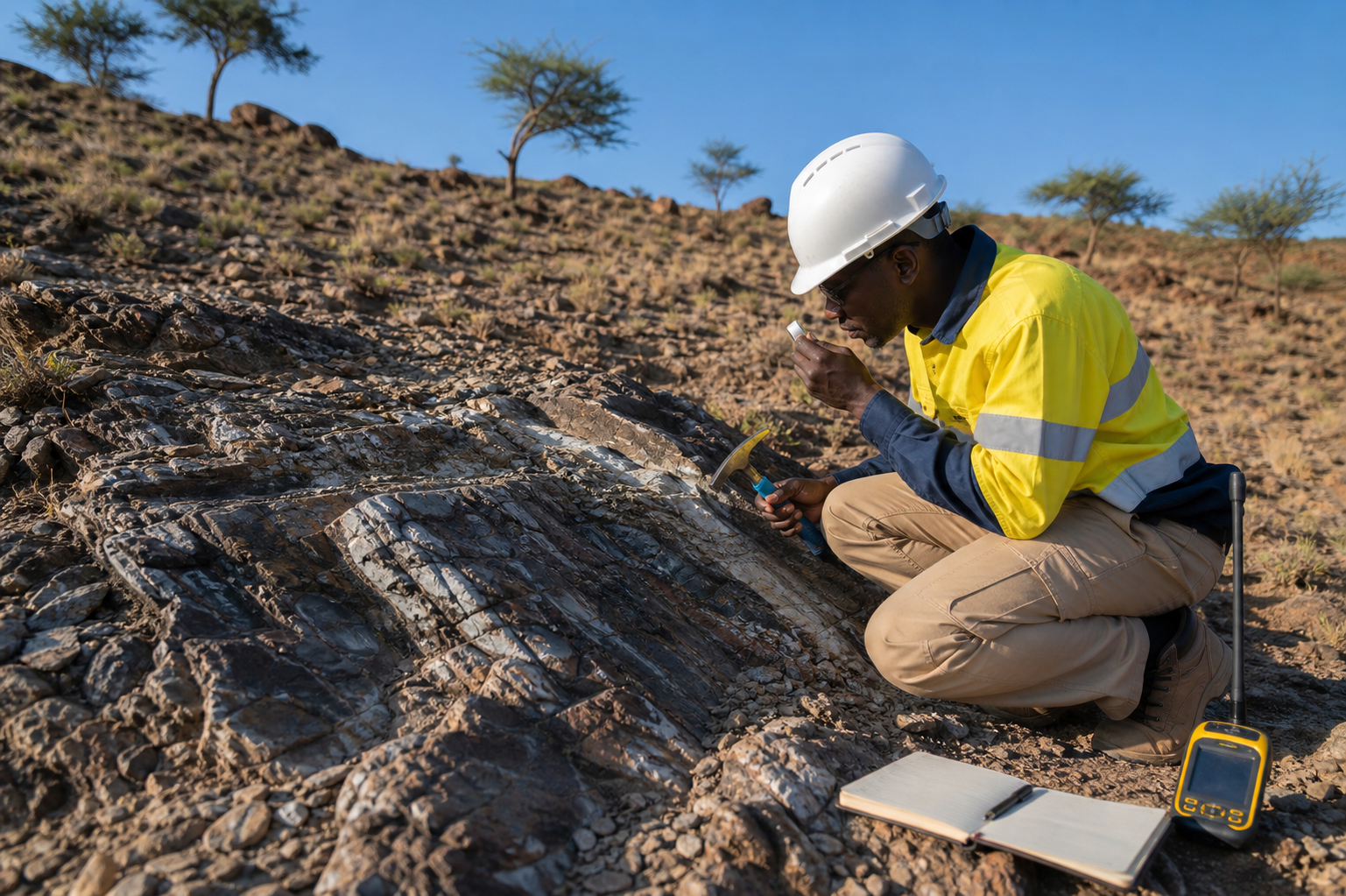
Structured mapping and observation programs that preserve field context and geological interpretation.
Qualified exploration teams plan traverses, stations and mapping activities using controlled coordinate systems and field standards. Source observations remain attributable and are not silently overwritten when interpretations change.
- Field mapping package
- Controlled observation database
- Geological interpretation memorandum
PROFESSIONAL ACCOUNTABILITY
Evidence supports the decision; it does not replace qualified judgement.
Source records, approvals and issued outputs remain traceable. Legal, geological, resource and safety decisions are reviewed by the appropriately qualified domain professionals for the project.